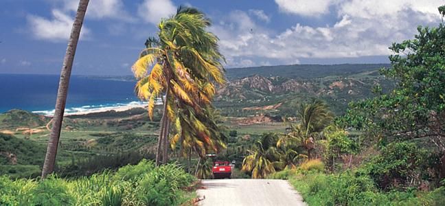
Driving Tips & Map Reading
Here is a list of pointers and some of the quirks and customs of drivers on Barbados' roads that a visitor might find useful:
- In Barbados we drive on the left hand side of the road.
- Seat belts are compulsory.
- Speed Limits:
In built up areas or the city - 40 km/h
Rural areas outside the city - 60 km/h
ABC Highway - 80 km/h - When you hear the honk of a horn it has a variety of meanings: it could be a warning, or a "hello" to a passing friend or an "excuse me, I'm coming"
- When someone flashes their car lights at you at a junction it usually means "proceed, I'm letting you go first"
- The roundabout system of lanes is: when taking the first left exit off the roundabout you should remain in the left lane; when proceeding straight, take either lane and filter at the exit, all other exits off the roundabout remain in the right lane. Always give way to your right at the roundabout.
Barbados is the most densely roaded country in the world, thus Map Reading can be a bit challenging. Here is some helpful info:
- Our island maps are based on the names of places.
- Black and white signs act as a point of reference, identifying districts and the name of the highway you are on.
- The main ABC Highway runs from the Grantley Adams International Airport, parallel to the South Coast and then to the West Coast.
- Highways 1-7 all start in Bridgetown and branch out across the island.
- Highways A-Z are the smaller roads in between.