Tongariro Alpine Crossing
Our guide to one of the great walks in New Zealand
The Tongariro Alpine Crossing is considered to be the best one day hike in New Zealand. Having the done the trek ourselves, we would agree! Below is practical information to help you plan your trip.
We've also shared photos from each major section of the hike with a brief description to give you a good idea of the terrain you'll be crossing.
Tongariro Alpine Crossing - Quick Facts:
- The hike is 19.4km one way.
- It will take between 6 - 8 hours depending on your fitness level.
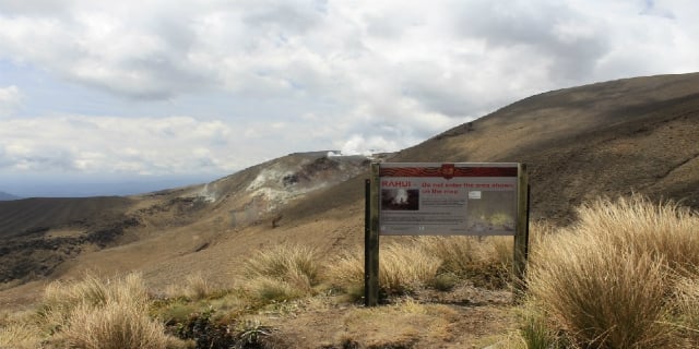
- Tongariro National Park is New Zealand's oldest national park and a world heritage area.
- Its heritage status reflects both its Maori cultural associations and its incredible volcanic landscape.
- The trek takes you over steep volcanic terrain and demands a reasonable level of fitness.
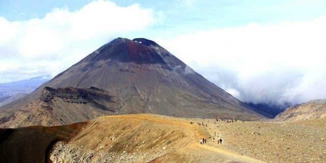
- The trek passes Mt Ngauruhoe which starred as Mt Doom in the Lord of the Rings film trilogy.
- You can walk the track in either direction but the most popular way is from Mangatepop Valley to Ketetahi Car Park.
Tongariro Alpine Crossing - Need To Know:
- The weather in Tongariro National Park can change rapidly so you must take clothing to suit all weather conditions.
- Hot and sunny conditions on the ground can soon turn to cold, cloudy weather higher up.
- Transport operators will confirm if the crossing is possible the afternoon/early evening on the day before.
- There is no drinking water on the crossing. It's recommended to take at least 2 litres of water per person.
- Toilets are located at both ends of the trek at Mangatepopo and Ketetahi car parks. There are also toilets at Soda Springs (within the first - hour of the trek from Mangatepopo) and towards the end of the trek at Ketetahi Hut, approximately two hours from Ketetahi Car Park.
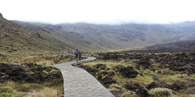
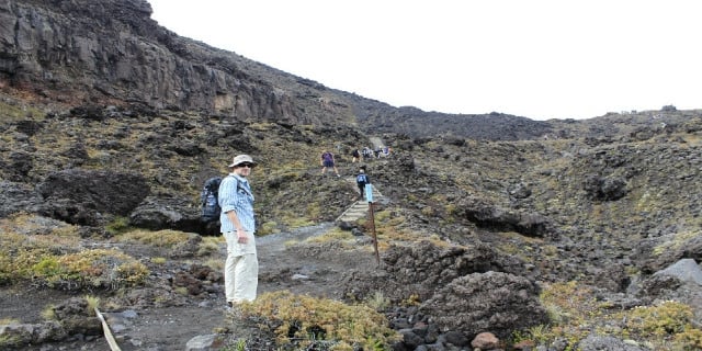
2. Soda Springs to South Crater (Time: 1 hour)
The steep climb begins covering 340 metres up to the South Crater summit. On a clear day there are fantastic views of the national park.
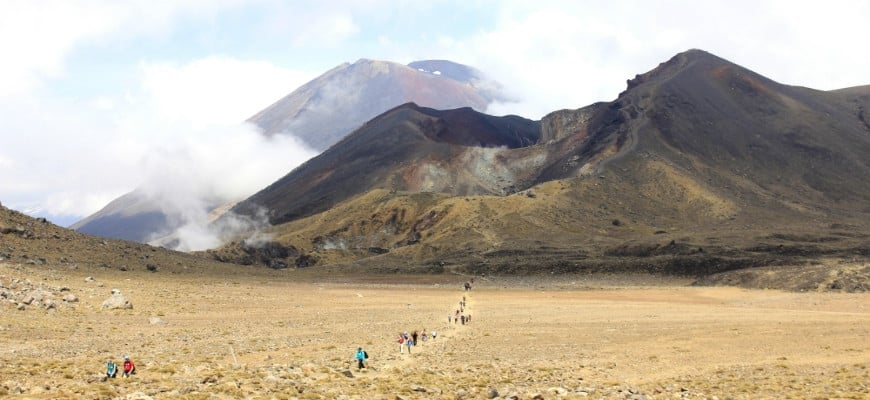
 3. South Crater to Red Crater (Time: 45 minutes - 1 hour)
The spectacular scenery unfolds in this section. The large red coloured basin (it's not a real crater) has gained its striking colour from the high temperature oxidation of the iron in the rock. This section will give you an eye-catching view of Mt Ngauruhoe.
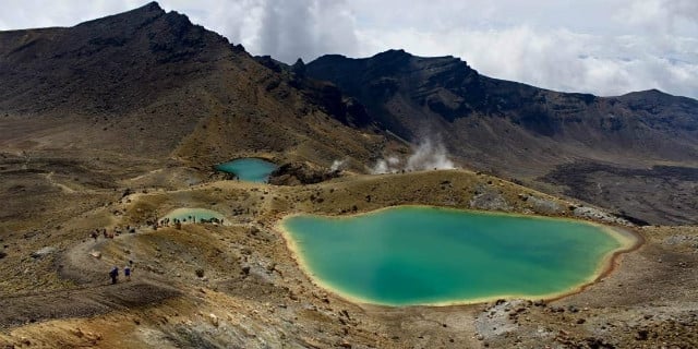
 4. Red Crater to Emerald Lakes (Time: 20 minutes)
The summit of Red Crater is the highest point of thre crossing at 1886 metres and where many hikers will take a break and have their lunch. The track enters a steep decline with loose scree so hikers have to take care when descending. This section offers spectacular views of the Emerald Lakes and the Blue Lake in the distance.
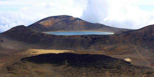
 5. Emerald Lakes to Ketetahi Hut (Time: 1 - 1.5 hours)
A flat section over Central Crater leads into a short and steep climb to the edge of Te Wai-whakaata-o-te-Rangihiroa aka the Blue Lake. A winding section then descends down to Ketetahi Hut.
 6. Ketetahi Hut to Ketetahi Car Park (Time: 1.5 - 2 hours)
The final section descends through tussock slopes and into the forest. Near the end of this section there is a lookout over a waterfall.
 Transport:
There are a few transport operators that will collect you from your accommodation, drop you off at the start of the trek and pick you up at the end of the trail. The transport services include Taupo, Turangi, Rotorua and locations within Tongariro National Park.
We used ROAM when staying in Whakapapa Village who collect at 7.00am, 8.00am and 9.00am. The cost was $30 per person.
What to bring:
The Department of Conservation recommend:
- A rucksack
- Approx 2 litres of water per person
- Sturdy walking shoes (preferably to trainers)
- Waterproof jacket
- Food
- Sun protection
- Map / GPS
- First aid kit
In Winter, more experienced climbers should bring:
- Ice axe and crampons
- Snow Gaiters